Spectrum Innovates Pathway Program: Innovation Hub
Spectrum Innovates Pathway Program: Innovation Hub Read More »


The document is divided into the following chapters: Introduction, Sensors, Microwaves, Image Analysis, Applications, and more. Each chapter includes descriptions, definitions, graphics, and diagrams. Additionally, each chapter ends with a short answer review question along with its answer.
Fundamentals of Remote Sensing Read More »
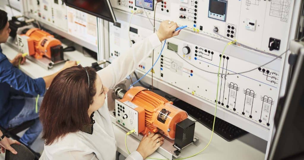
This 45-page resource, from Baker College, is an educational module that provides theoretical knowledge about the growing technology of Lidar. The module includes a laboratory component where students experiment with an industry grade commercial Lidar device and learn hands-on about its features and performance. The module can be embedded in courses in photonics, electronics, advanced
Fundamentals of LiDAR Technologies Read More »

This all-online, face-to-face, or hybrid exploratory course introduces you to the fundamental concepts of Geospatial Science and how Geospatial Technology (GST) is used to measure, imagine, study, and discover our complex and everchanging human and natural world. You will learn the basic techniques of cartography (mapping), GPS (global positioning systems), GIS (Geographic 1 Information Systems),
Exploring Our World Through Geospatial Technology (GEOG 1890) Read More »
This is an advanced geospatial course that introduces and analyzes important concepts, issues, and methods related to a variety of multispectral and other types of remotely sensed imagery (e.g., satellite and airborne platforms). The major objectives are to provide students with both a foundation in understanding different types of imagery and how to process imagery
Remote Sensing: Principles and Methods (GEO 3840) Read More »

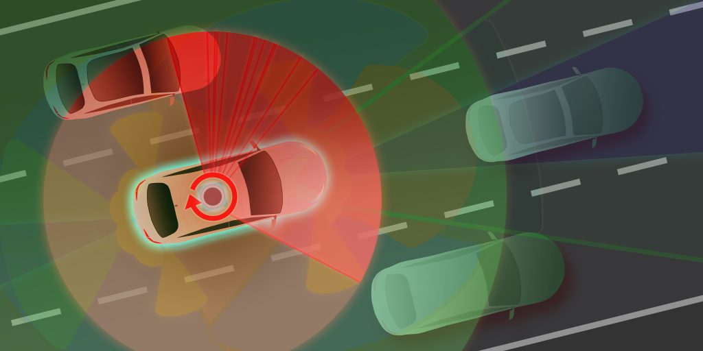
Autonomous vehicles or self-driving vehicles are expected to remove the actions of human beings from the transportation equation, which contribute to more than 90% of motor vehicle crashes. Technologies already exist which enable “driverless” vehicles to operate on our roadways and promise many benefits. Innovations at work today are demonstrating the potential to significantly improve

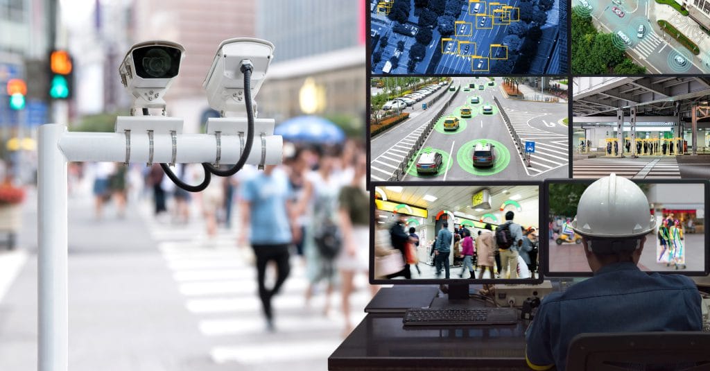
Lesson:1-Connected vehicle (CV) safety applications are designed to increase awareness of what is happening in the environment as people drive, walk, or bike within our transportation system. In this lesson, students will recognize the need for intelligent transportation technology and connected vehicles within work zones on the roadway. Students will develop ideas on how ITS
Module 10: Lesson 1- High School- Intelligent Transportation Systems- Smart Work Zone Read More »

Dynamic Message Signs (DMS) use active, changeable displays to enhance roadway safety as part of an intelligent transportation system (ITS). An ITS does not always have to be a large, complex, and expensive system. Sometimes a single DMS with warning lights or a driver feedback display can make a positive difference when strategically applied. DMS
Module 9: Lesson 1- High School- Dynamic Message Signs Using Makey Makey Read More »
Congestion-based tolling is an aspect of intelligent transportation systems that is being implemented frequently on highly-congested road networks in the US and around the world. It is a topic that also lends itself to beginning-level programming, based on its iterative nature. Through discussion, analysis, and a hands-on programming activity, students will be able to understand
Module 6: Lesson 1- High School- Congestion Pricing & Flowcharting Read More »

Transportation vehicles – cars, trucks, buses, trains – consume a substantial percentage of our limited environmental resources. Intelligent Transportation Systems (ITS) can potentially reduce total resource consumption through the use of programmed travelling patterns that minimize fuel-inefficient commuting routes, and maximize large-scale multimodal system use. Students will investigate ITS-based solutions for reducing fuel consumption and
Module 5: Lesson 1- High School- Sustainable & Intelligent Transportation Technology Read More »