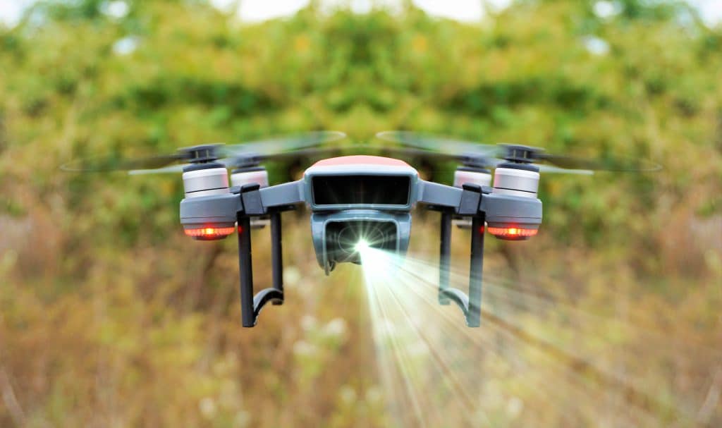
LiDAR Data Processing and GIS Integration
This course will introduce students to basic concepts in Light Detection and Ranging (LiDAR). Students will also learn to process LiDAR data collected by unmanned aircraft systems (UAS), and analysis these data using Geographic Information Systems (GIS).
LiDAR Data Processing and GIS Integration Read More »