
Unsupervised Classification of Drone Multispectral Images and Landcover Analysis
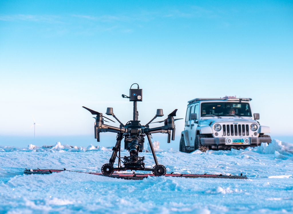
In this activity provided by the Unmanned Aircraft System operations Technician Education Program (UASTEP), students will be introduced to a multispectral sensor that can be used with a drone or unmanned aircraft system. In addition, students will analyze multispectral data from the sensor by using a variety of geoprocessing tools found in the ArcGIS Pro
Unsupervised Classification of Drone Multispectral Images and Landcover Analysis Read More »