

The document is divided into the following chapters: Introduction, Sensors, Microwaves, Image Analysis, Applications, and more. Each chapter includes descriptions, definitions, graphics, and diagrams. Additionally, each chapter ends with a short answer review question along with its answer.
Fundamentals of Remote Sensing Read More »
This 45-page resource, from Baker College, is an educational module that provides theoretical knowledge about the growing technology of Lidar. The module includes a laboratory component where students experiment with an industry grade commercial Lidar device and learn hands-on about its features and performance. The module can be embedded in courses in photonics, electronics, advanced
Fundamentals of LiDAR Technologies Read More »

This all-online, face-to-face, or hybrid exploratory course introduces you to the fundamental concepts of Geospatial Science and how Geospatial Technology (GST) is used to measure, imagine, study, and discover our complex and everchanging human and natural world. You will learn the basic techniques of cartography (mapping), GPS (global positioning systems), GIS (Geographic 1 Information Systems),
Exploring Our World Through Geospatial Technology (GEOG 1890) Read More »
This is an advanced geospatial course that introduces and analyzes important concepts, issues, and methods related to a variety of multispectral and other types of remotely sensed imagery (e.g., satellite and airborne platforms). The major objectives are to provide students with both a foundation in understanding different types of imagery and how to process imagery
Remote Sensing: Principles and Methods (GEO 3840) Read More »
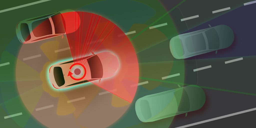
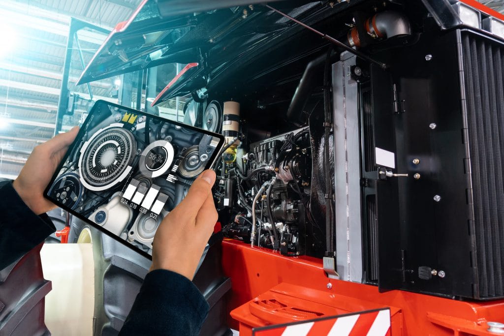
A course in the Vehicle Engineering Technician, Automotive Technology Associate Degree at Macomb Community College This course introduces students to principles of sensors (GPS, MEMS, LIDAR, Radar, Ultrasonic, Infrared) used in connected and automated vehicles, locomotion, autonomous mobile robots.
IT311 – Sensors Used in Connected and Automated Vehicles Read More »
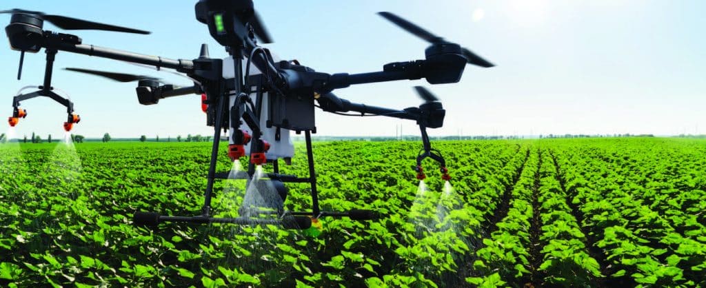
This PowerPoint presentation, made available by Clark State Community College, provides basic information on twelve different mobile applications that can be used to aid in various aspects of precision agriculture. Examples of application utility include drone monitoring, crop management, use of satellite imagery to monitor crops, plant stand calculations, weed identification, and more.
Apps for Precision Agriculture Read More »
This applied geospatial course introduces students to primary data collection methods in the field, with emphasis on GPS/GNSS, sUAS (drone), and smartphone/tablet operations. The main objective is to provide students with the knowledge and skills needed to successfully plan and execute field campaigns that result in the accurate collection and processing of geospatial data that
Geospatial Data Acquisition (GEO 2200/4200) Read More »
This collection includes materials from the DroneTech Educator Workshop: Drones and Geospatial Applications that was held by the National Center for Autonomous Technologies (NCAT). “This workshop … focus[ed] on developing and integrating practical applications of Drone and Geospatial Technology use into curriculum. Ongoing applied research projects … provide[d] data and examples of how drones and
DRONETECH: Drones and Geospatial Applications Read More »
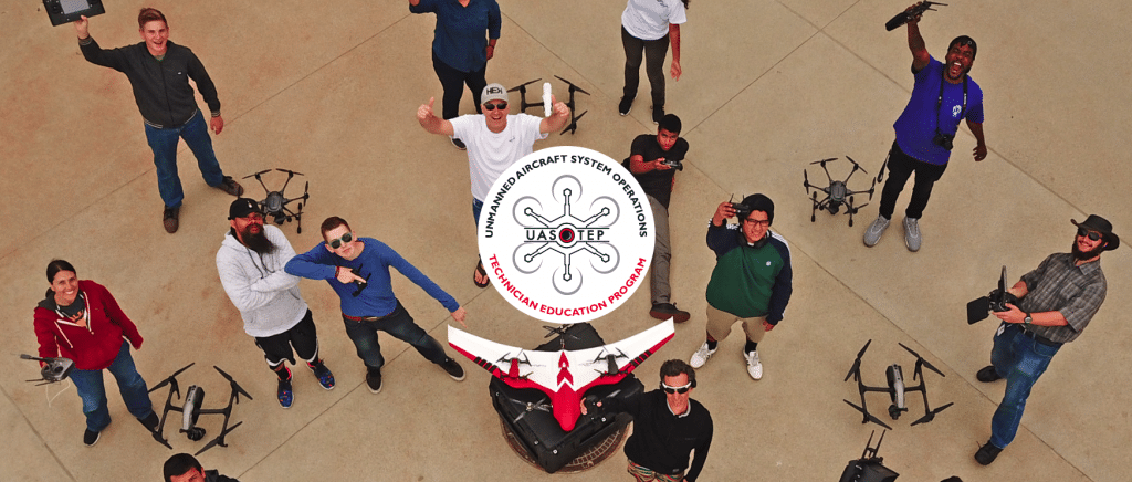
In this activity provided by the Unmanned Aircraft System operations Technician Education Program (UASTEP), students will learn to analyze multispectral images collected from a drone or unmanned aircraft system. Specifically, students will use the ArcGIS Pro software package to visualize, classify, and calculate the areas covered by different types of land cover. In addition, students
Supervised Classification of Drone Multispectral Images and Landcover Analysis Read More »