Digital Mapping with UAS – GUAS 2372 UAS 102
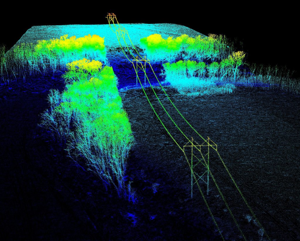
This course introduces students to the fundamentals of mapping with small Unmanned Aircraft Systems (soaps) using digital imaging sensors to produce high resolution, spatially accurate 2D and 3D geospatial data products. The course will cover the full spectrum of UAS mapping from survey design to data processing to product assessment. Students will learn the principles […]
Digital Mapping with UAS – GUAS 2372 UAS 102 Read More »