Drone Operations – Multi-Rotor
Drone Operations – Multi-Rotor Read More »

This course will equip students with knowledge about the regulations and procedures governing safe and legal operation of small unmanned aircraft systems (sUAS), commonly known as “drones”. The scope of this course coincides with the knowledge areas in the Federal Aviation Administration’s Part 107 airman knowledge test for a Remote Pilot Certificate with a sUAS
sUAS Procedures & Regulations Read More »
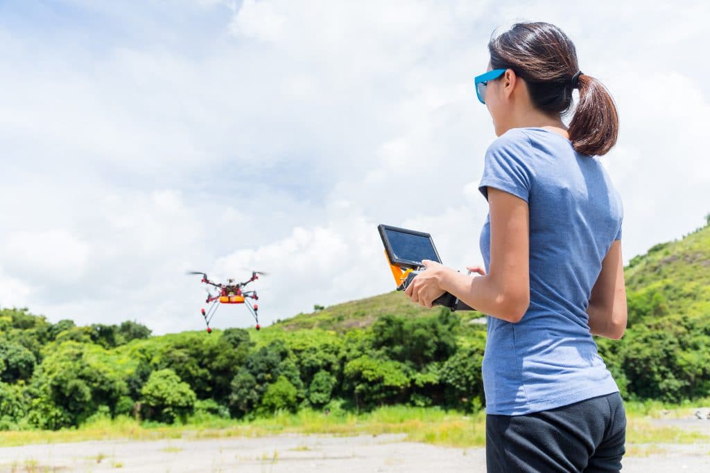
This course covers intermediate uses of unmanned vehicles for digital imaging. This hands-on course covers high resolution video, aerial imaging, intelligent mission planning, and the use of underwater remotely operated vehicles (ROV) for image capture, editing, mapping and related uses.
Digital Imaging with Drones II Read More »
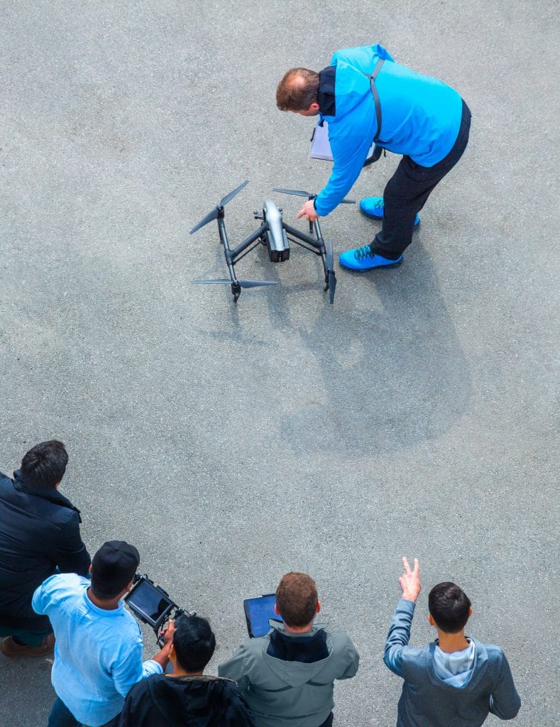
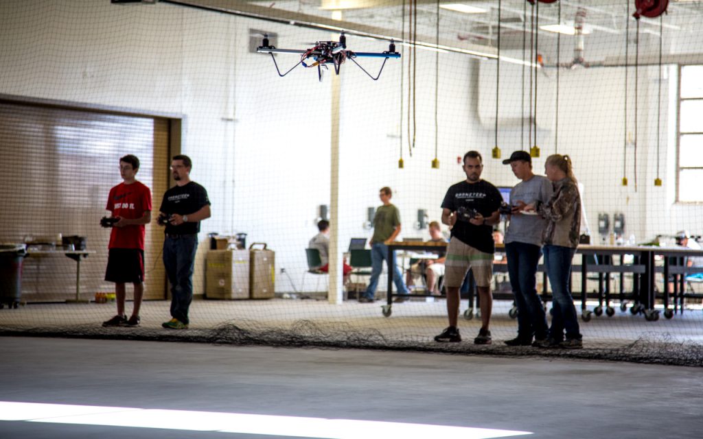
This class is an introduction to drone safety and applications. Other than reviewing the regulations governing small unmanned aircraft systems (sUAS) operations and considerations for safe flying, we explore the exciting present and emerging trends of sUAS applications across various industries.
Introduction to Drone Safety and Applications Read More »

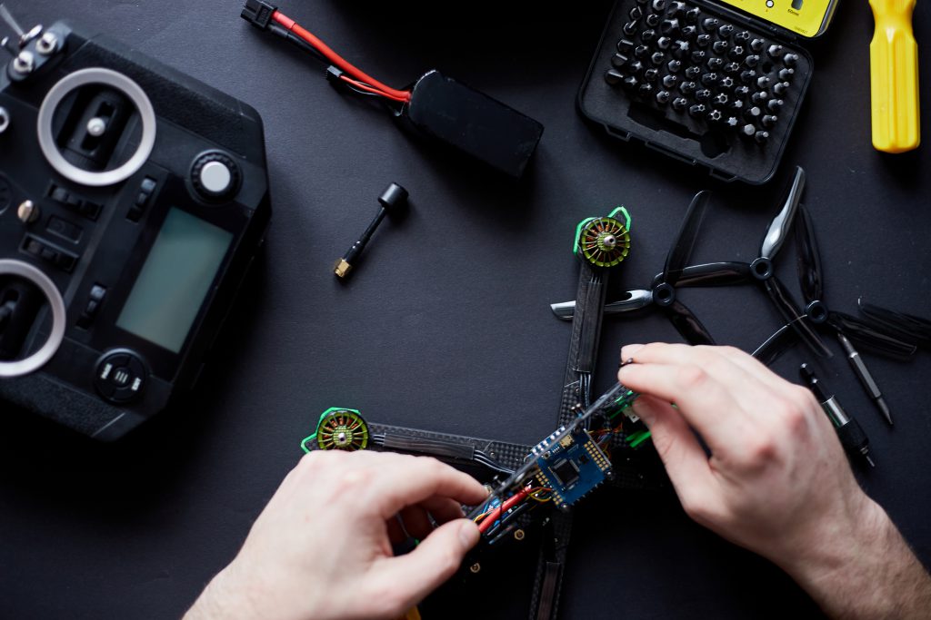
Digital Imaging with Drones at Palomar College is an introduction to using drones or unmanned vehicles for digital imaging. This hands-on course covers building, operating, and outfitting for still and video imaging and image capture.
Digital Imaging with Drones Read More »
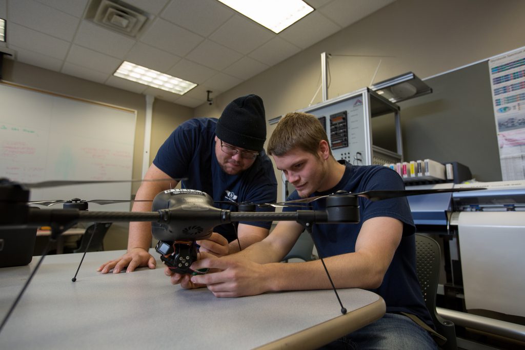
This course prepares professionals to operate small UAS in business environments. Participants will be prepared to take the Federal Aviation Administration Remote pilot operator exam and meet the minimum credentials for commercial operations. Passing the FAA Remote Pilot Operator exam provides a license to learn and this session is the first step in the process.
sUAS Ground School Read More »
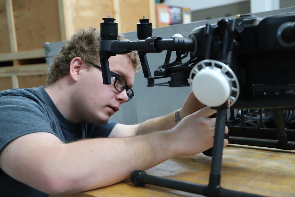
This block focuses on the basics of UAS. This course is designed for students to gain knowledge of the history of UAS, how they are used now and a basic overview of the main components in a UA System. This portion of the course will typically provide 90 total student contact hours in a lecture
Foundations of UAS Read More »

Remote Sensing focuses on measuring and analyzing the Earth’s surface from a camera-like sensor on an aerial or satellite platform. Remote Sensing is projected to be a $19.3 billion industry by 2025. It includes large corporations, like Google, and government agencies, like NASA. The first half of this class will teach students about the basics
Introduction to Remote Sensing and Drone Image Processing Read More »