

This all-online, face-to-face, or hybrid exploratory course introduces you to the fundamental concepts of Geospatial Science and how Geospatial Technology (GST) is used to measure, imagine, study, and discover our complex and everchanging human and natural world. You will learn the basic techniques of cartography (mapping), GPS (global positioning systems), GIS (Geographic 1 Information Systems),
Exploring Our World Through Geospatial Technology (GEOG 1890) Read More »
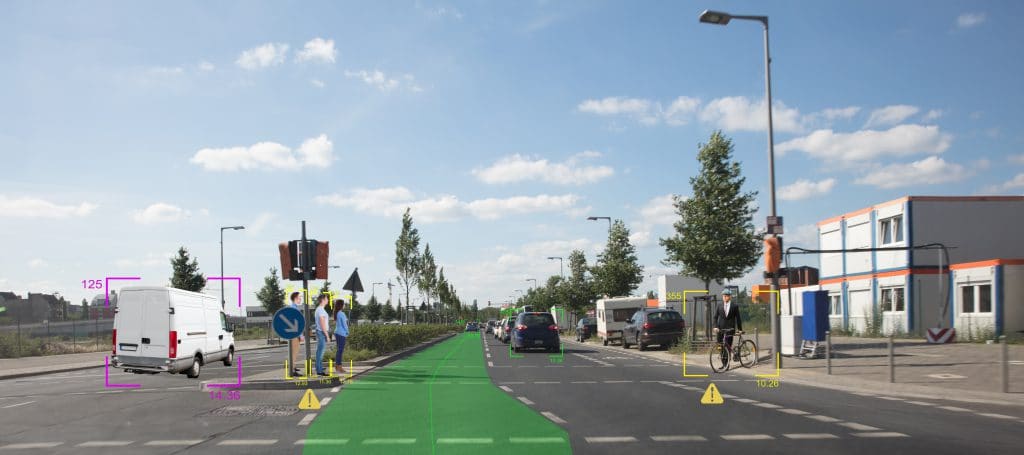
A course in the Vehicle Engineering Technician, Automotive Technology Associate Degree at Macomb Community College This course introduces students to principles of sensors (GPS, MEMS, LIDAR, Radar, Ultrasonic, Infrared) used in connected and automated vehicles, locomotion, autonomous mobile robots.
IT311 – Sensors Used in Connected and Automated Vehicles Read More »

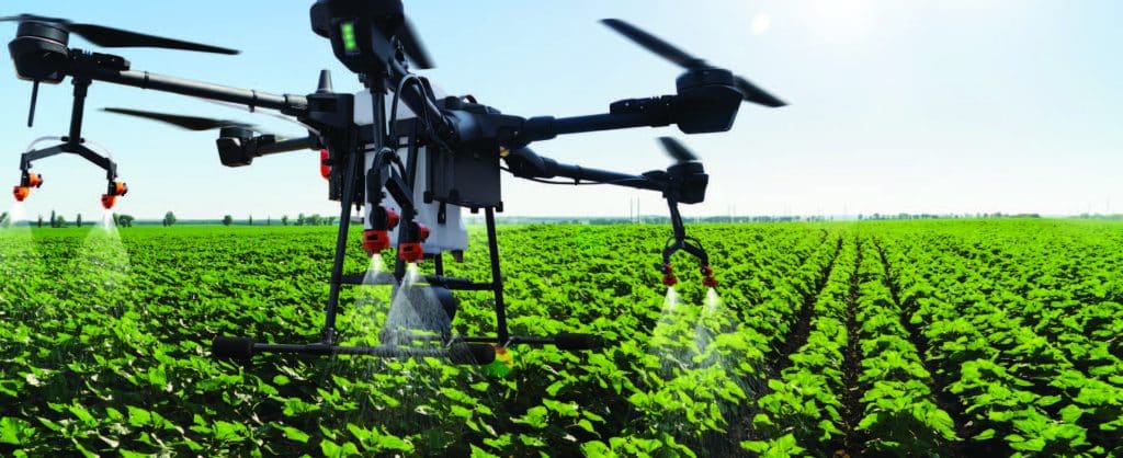
This course will provide an introduction to Precision Agriculture technologies, covering both the applications and the different technologies (e.g. geographic information systems (GIS), global positioning systems (GPS), remote sensing systems, variable rate application etc that make precision farming possible. Precision Agriculture course developed for students of agricultural educational institutions by agriculture science specialization.
Introduction to Precision Agriculture Read More »

This PowerPoint presentation, made available by Clark State Community College, provides basic information on twelve different mobile applications that can be used to aid in various aspects of precision agriculture. Examples of application utility include drone monitoring, crop management, use of satellite imagery to monitor crops, plant stand calculations, weed identification, and more.
Apps for Precision Agriculture Read More »
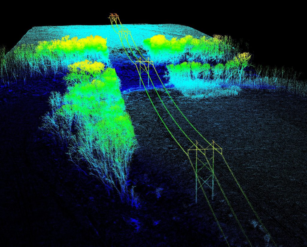
This applied geospatial course introduces students to primary data collection methods in the field, with emphasis on GPS/GNSS, sUAS (drone), and smartphone/tablet operations. The main objective is to provide students with the knowledge and skills needed to successfully plan and execute field campaigns that result in the accurate collection and processing of geospatial data that
Geospatial Data Acquisition (GEO 2200/4200) Read More »

This collection includes materials from the DroneTech Educator Workshop: Drones and Geospatial Applications that was held by the National Center for Autonomous Technologies (NCAT). “This workshop … focus[ed] on developing and integrating practical applications of Drone and Geospatial Technology use into curriculum. Ongoing applied research projects … provide[d] data and examples of how drones and
DRONETECH: Drones and Geospatial Applications Read More »
In this activity provided by the Unmanned Aircraft System operations Technician Education Program (UASTEP), students will learn to analyze multispectral images collected from a drone or unmanned aircraft system. Specifically, students will use the ArcGIS Pro software package to visualize, classify, and calculate the areas covered by different types of land cover. In addition, students
Supervised Classification of Drone Multispectral Images and Landcover Analysis Read More »
This course introduces students to the fundamentals of mapping with small Unmanned Aircraft Systems (soaps) using digital imaging sensors to produce high resolution, spatially accurate 2D and 3D geospatial data products. The course will cover the full spectrum of UAS mapping from survey design to data processing to product assessment. Students will learn the principles
Digital Mapping with UAS – GUAS 2372 UAS 102 Read More »