
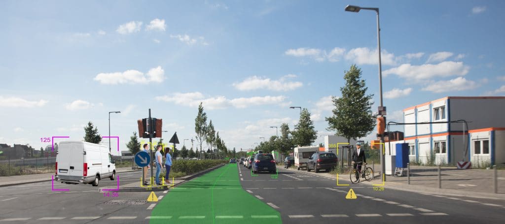
A course in the Vehicle Engineering Technician, Automotive Technology Associate Degree at Macomb Community College This course introduces students to principles of sensors (GPS, MEMS, LIDAR, Radar, Ultrasonic, Infrared) used in connected and automated vehicles, locomotion, autonomous mobile robots.
IT311 – Sensors Used in Connected and Automated Vehicles Read More »
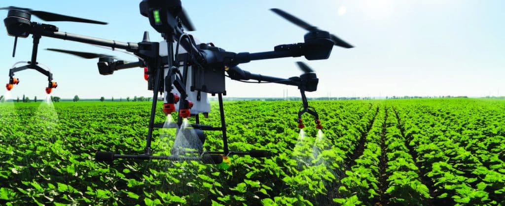
This collection includes materials from the DroneTech Educator Workshop: Drones and Geospatial Applications that was held by the National Center for Autonomous Technologies (NCAT). “This workshop … focus[ed] on developing and integrating practical applications of Drone and Geospatial Technology use into curriculum. Ongoing applied research projects … provide[d] data and examples of how drones and
DRONETECH: Drones and Geospatial Applications Read More »
This course introduces students to the fundamentals of mapping with small Unmanned Aircraft Systems (soaps) using digital imaging sensors to produce high resolution, spatially accurate 2D and 3D geospatial data products. The course will cover the full spectrum of UAS mapping from survey design to data processing to product assessment. Students will learn the principles
Digital Mapping with UAS – GUAS 2372 UAS 102 Read More »
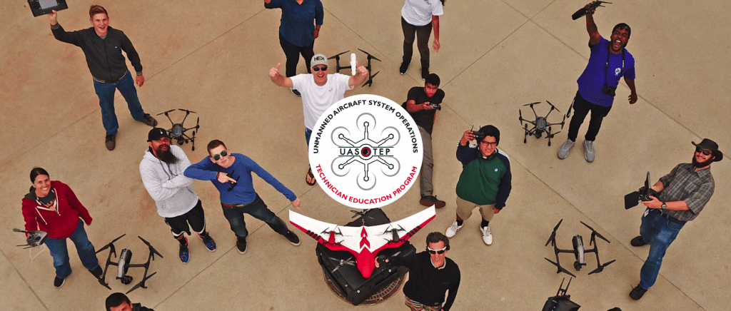
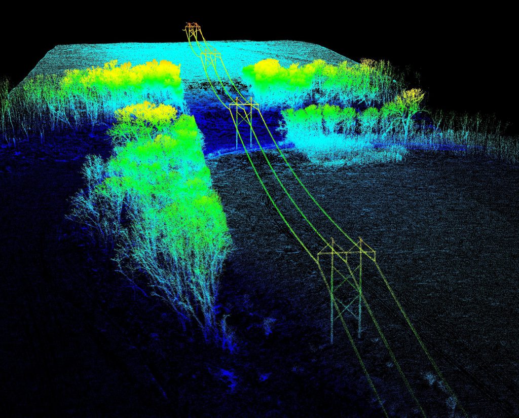
In this activity provided by the Unmanned Aircraft System operations Technician Education Program (UASTEP), students will be introduced to a multispectral sensor that can be used with a drone or unmanned aircraft system. In addition, students will analyze multispectral data from the sensor by using a variety of geoprocessing tools found in the ArcGIS Pro
Unsupervised Classification of Drone Multispectral Images and Landcover Analysis Read More »
This course covers intermediate uses of unmanned vehicles for digital imaging. This hands-on course covers high resolution video, aerial imaging, intelligent mission planning, and the use of underwater remotely operated vehicles (ROV) for image capture, editing, mapping and related uses.
Digital Imaging with Drones II Read More »

Digital Imaging with Drones at Palomar College is an introduction to using drones or unmanned vehicles for digital imaging. This hands-on course covers building, operating, and outfitting for still and video imaging and image capture.
Digital Imaging with Drones Read More »

Remote Sensing focuses on measuring and analyzing the Earth’s surface from a camera-like sensor on an aerial or satellite platform. Remote Sensing is projected to be a $19.3 billion industry by 2025. It includes large corporations, like Google, and government agencies, like NASA. The first half of this class will teach students about the basics
Introduction to Remote Sensing and Drone Image Processing Read More »