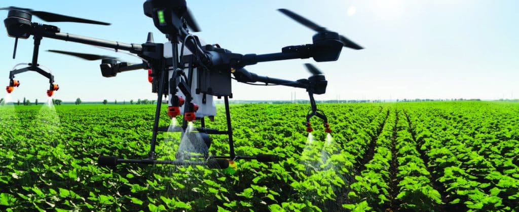

This PowerPoint presentation, made available by Clark State Community College, provides basic information on twelve different mobile applications that can be used to aid in various aspects of precision agriculture. Examples of application utility include drone monitoring, crop management, use of satellite imagery to monitor crops, plant stand calculations, weed identification, and more.
Apps for Precision Agriculture Read More »
This applied geospatial course introduces students to primary data collection methods in the field, with emphasis on GPS/GNSS, sUAS (drone), and smartphone/tablet operations. The main objective is to provide students with the knowledge and skills needed to successfully plan and execute field campaigns that result in the accurate collection and processing of geospatial data that
Geospatial Data Acquisition (GEO 2200/4200) Read More »
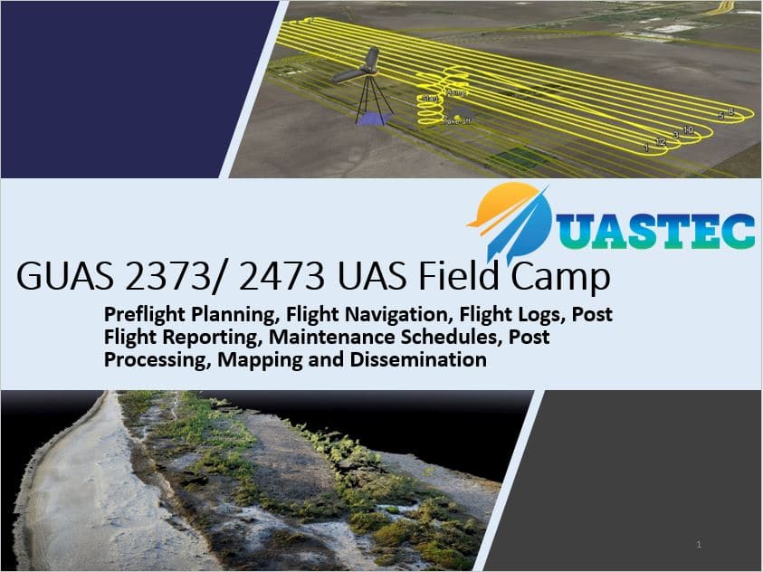
This course applies all of the theory and skills taught in the first two GUAS courses through hands-on field-based experience. Students will be responsible for planning and executing sUAS flight plans. They will spend their time in the field at FAA-approved flight sites to demonstrate live operation of sUAS platforms. This course follows up with
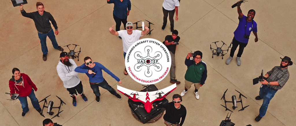
In this 4-page activity, provided by the Unmanned Aircraft System operations Technician Education Program (UASTEP), students are introduced to some of the properties (i.e. return value, point count) of LiDAR data gathered by a sensor mounted on a drone or unmanned aircraft system. In addition, students use spatial analysis tools in the ArcGIS Pro software
An Introduction to Visualizing and Analyzing LiDAR Data from Drones Read More »

Remote Sensing focuses on measuring and analyzing the Earth’s surface from a camera-like sensor on an aerial or satellite platform. Remote Sensing is projected to be a $19.3 billion industry by 2025. It includes large corporations, like Google, and government agencies, like NASA. The first half of this class will teach students about the basics
Introduction to Remote Sensing and Drone Image Processing Read More »