Activity

Aerospace Program Technology Curriculum Resource Packet

This resource packet was developed by a partnership between the SpaceTEC National Center of Excellence, Brevard Community College, and the NASA Education Office at the Kennedy Space Center. The easy-to-use booklet provides listings of all the necessary materials and step-by-step instructions on how to conduct the experiments in a classroom or laboratory environment. The experiments […]

Aerospace Program Technology Curriculum Resource Packet Read More »

Introduction to Electronics

This learning module is provided by Work-Ready Electronics and provides an introduction to electronics. Work-Ready Electronics modules are intended to be used either independently or integrated with current electronics curricula in college programs. This module is divided into three sections: Course Materials, Learning Activities, and Resources.

Introduction to Electronics Read More »

SeaMATE Underwater Robotics

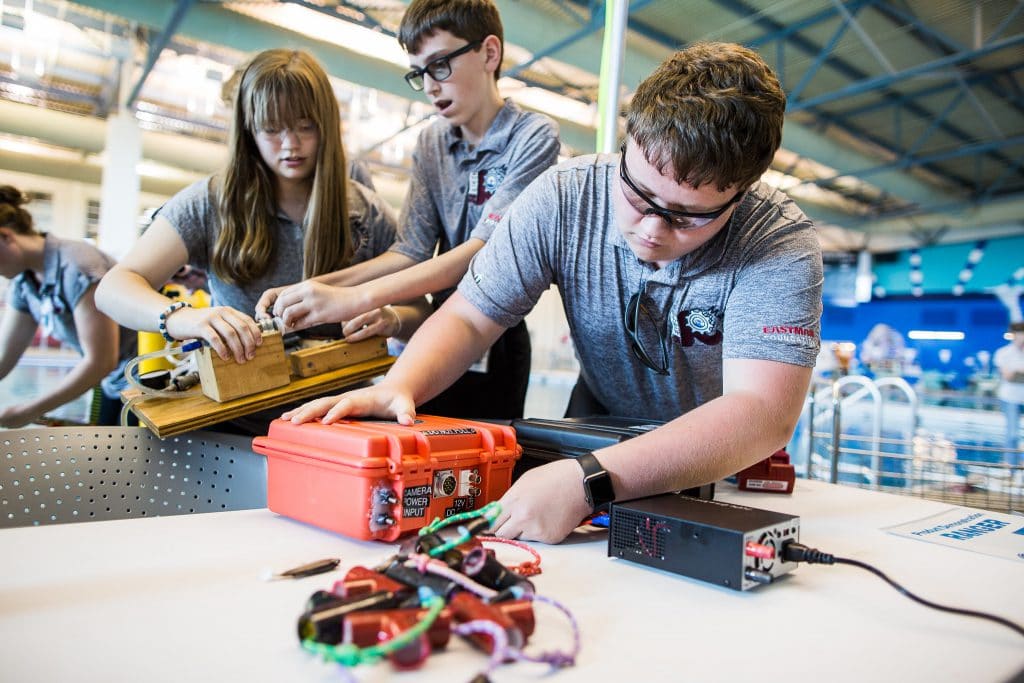
These four Building Guides, one for each SeaMATE ROV kit, focus on learning the concepts behind designing, and the building of, underwater robots, and how underwater robots are used in various sectors of the Blue Economy. These guides include instructional materials such as how-to videos, Google Slide presentations, and more to support student learning. Students

SeaMATE Underwater Robotics Read More »

Supervised Classification of Drone Multispectral Images and Landcover Analysis

In this activity provided by the Unmanned Aircraft System operations Technician Education Program (UASTEP), students will learn to analyze multispectral images collected from a drone or unmanned aircraft system. Specifically, students will use the ArcGIS Pro software package to visualize, classify, and calculate the areas covered by different types of land cover. In addition, students

Supervised Classification of Drone Multispectral Images and Landcover Analysis Read More »

An Introduction to Visualizing and Analyzing LiDAR Data from Drones

In this 4-page activity, provided by the Unmanned Aircraft System operations Technician Education Program (UASTEP), students are introduced to some of the properties (i.e. return value, point count) of LiDAR data gathered by a sensor mounted on a drone or unmanned aircraft system. In addition, students use spatial analysis tools in the ArcGIS Pro software

An Introduction to Visualizing and Analyzing LiDAR Data from Drones Read More »

Unsupervised Classification of Drone Multispectral Images and Landcover Analysis

In this activity provided by the Unmanned Aircraft System operations Technician Education Program (UASTEP), students will be introduced to a multispectral sensor that can be used with a drone or unmanned aircraft system. In addition, students will analyze multispectral data from the sensor by using a variety of geoprocessing tools found in the ArcGIS Pro

Unsupervised Classification of Drone Multispectral Images and Landcover Analysis Read More »

Skip to content