Faculty and students at community colleges across the Commonwealth will continue to learn how to operate unmanned aircraft systems (UAS) and collect and analyze geospatial data. The Virginia Space Grant Consortium (VSGC) is leading a statewide partnership to develop the geospatial technology and UAS workforce in Virginia. The new award of $561,977 from the National Science Foundation (NSF) Advanced Technological Education (ATE) program is the fifth award to VSGC and partners targeting the technician workforce in these emerging technologies.
VSGC, Germanna Community College (GCC), the Virginia Community College System (VCCS) and Virginia Tech are partnering on the Improving Pathways into the Geospatial and Unmanned Aircraft Systems Technician Workforce (GeoTEd-UAS) project (NSF# 2000715). GeoTEd-UAS will prepare students for success as geospatial technicians and small UAS (sUAS) operation technicians (sUAS-OT) who will plan and fly sUAS missions and analyze geospatial data to solve problems and answer questions.
Dr. Shawn Shields Lyons, Professor of Chemistry and GIS at GCC states, “Our work will include the development of two stackable career studies certificates; one in Geographic Information Systems (GIS) and Data Analytics, and another in UAS.”
The GeoTEd-UAS team is partnering with industry, NASA, and other organizations to support the project. “Community colleges are well-positioned to respond to rapid changes in these technologies and offer flexible curriculum aligned with industry need,” state VSGC Deputy Director Chris Carter. The project will also offer UAS-themed activities for precollege students and leverage the Commonwealth STEM Industry Internship Program offered by VSGC to place students in paid internships with business and industry throughout Virginia.
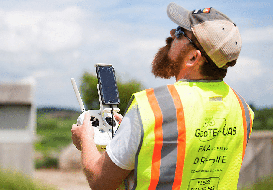
Small UAS, weighing under 55 lbs., can be used to collect data-on-demand and replace larger aircraft and other means that were previously used to collect data and imagery. Cherie Aukland, faculty consultant states, “These faculty, through experiential learning and integrated mapping and drone data collection projects, will help their students solve real problems. Pathways will allow students to obtain the FAA Remote Pilot Certificate.”
Leveraging partner and team expertise, the GeoTEd-UAS project will build faculty capacity at GCC to develop academic pathways. The project will also provide professional development to faculty from other colleges in Virginia. “These technologies add value to a student’s educational program, creating much sought-after and valuable employees.” said retired faculty and project consultant David Webb. “The GeoTEd-UAS workforce development model integrates interactive classroom instruction, sUAS applied field work targeting real-world issues, accompanied by structured mentoring.” stated Dr. John McGee, Professor and Geospatial Extension Specialist in Virginia Tech’s Department of Forest Resources and Environmental Conservation. More information is available at http://geoteduas.org/.