
Tell us about yourself and your background
People always ask me about my name, Buffy. I was named after the singer Buffy Sainte Marie. If you haven’t heard of her, she is a fold singer, popular in the 60s. My parents wanted me to have a “revolutionary name.” People usually think it is a nickname, but it’s officially my given name. I got teased when I was a little kid because there was a TV show called “A Family Affair” with siblings, Buffy and Jodie. But “Buffy the Vampire Slayer” saved me! Finally, a cool Buffy.
I am originally from Mississippi. Even though I haven’t lived there in almost 30 years, people tell me I still have a strong Southern dialect. Really. People often assume I just moved here to Syracuse. They advise me to get snow tires!
I started college at Hinds Junior College and eventually transferred to the University of Southern Mississippi. (If there are any old-school Green Bay fans out there, I was at Southern Miss when Bret Favre played football there. Yes. Football games were awesome. 🙂
I eventually ended up majoring in geography because I was interested in becoming a cartographer. I took drafting in high school and enjoyed it, and I always liked looking at the maps in National Geographic. When I learned that making maps was a legitimate job, I decided to try it. It’s not a very exciting story — there was no eureka moment — I just sort of picked the major out of the course catalog!
How did you get started in the industry you are in? What interested you most about it?
My college internship and first job was as an urban planning technician in Hattiesburg, Mississippi, at a company called Neel-Schaffer Engineering. I made maps by hand– I have been doing this a long time– for reports and public meetings. While there I learned AutoCAD and realized that being able to edit digital maps was a great advantage over having to fix paper drawings. I used AutoCAD for developing municipal water and sewer maps, subdivision plat maps, and general engineering layout and design figures. I also used a short-lived product called ArcCAD. This software was a very early collaboration between Esri and AutoDesk. It isn’t available any more, but it was my first foray into linking map features to data. I enjoyed using technology and the constant learning curve necessitated by new releases and updates.
I liked that job very much (and Neel-Schaffer is a great place) but life led me to graduate school. I went to the University of Denver and earned a master’s degree in geography. I specialized in climate modeling, specifically dendroclimatology. After graduating from DU, got a job at the U.S. Environmental Protection Agency office in Denver where I was a GIS analyst. I developed meta-data for the agency’s Superfund project files. We used the command-line rcInfo and had the 12 or so user manuals lined up on our desks. Remember those? I also worked on environmental justice initiatives where we looked at the spatial correlation between communities of color and Superfund sites. I really enjoyed using my technical and statistical skills to explore how people and the environment are linked.
I later went to Syracuse University to pursue a PhD in geography, but left due to what I call irreconcilable differences between me and my committee. After leaving SU I began a job with a local engineering company and worked on the Onondaga Lake sediment remediation project– a major sediment Superfund site in Central New York.
Tell us about your organization and your role
I was a part of the Future Professoriate Program while in graduate school and learned that I really liked teaching. GIS skills were in high demand in industry, though, so I focused on those in my career. However, when I saw a part-time position open for a meteorology instructor at Onondaga Community College, I applied because I really missed using the climate part of my education. I was hooked from day one. I taught part-time for several years while working as a GIS analyst, but applied for a full-time position in 2013 when it became available.
Onondaga Community College is located in Syracuse, New York. It is part of the State University of New York system. I am an associate professor, and I teach a variety of courses based on my education and professional experience– meteorology, New York environmental regulation, geographic information systems, geography, and natural hazards and disasters.
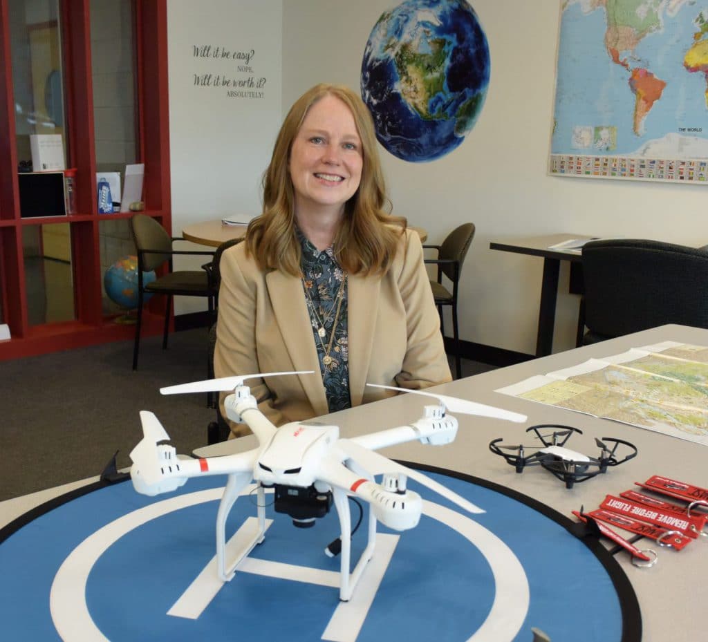
This semester we rolled out a new program I developed– geospatial science and technology. This program has courses in GIS, remote sensing, cartography, geostatistics, and UAV data collection and analysis. I developed this curriculum based in input from the National Geospatial Technology Center of Excellence and local industry partners as well as my own industry experience.
I am currently the principal investigator on a National Science Foundation Advanced Technological Education grant to integrate UAV data analysis into this program and to develop career pathways for high-school students in this high-tech field.
What do you enjoy must about working in the industry you are in?
When I was a kid I knew that education was the only path out of financial hardship. I enjoy being able to introduce students to the geospatial industry because I know it can take a person out of poverty and into a stable career with good working conditions, continued growth, and a better-than-living wage.
Share a success story
Even before starting this new geospatial program at OCC, I taught introductory GIS courses. Two of my former students are now working at local companies as GIS analysts. They are now both part of our Business and Industry Leadership Team and are helping me design this new curriculum. I am happy they are doing well in their careers. They thank me, but they did the work. I just introduced them to people who could help. That’s what I think I can do– show students that doors are open.
Share a failure and what you learned from it
Several years ago I was a part of a team who submitted an NSF grant proposal. We were not awarded that grant. I had certainly submitted other proposals for work in my professional life that did not get funded, but this proposed project felt solid. It was heartbreaking at first, and a few members of the team did give up and say they would never submit again– that the work going into developing the proposal was too great, and not worth the effort. It definitely felt like defeat.
The National Science Foundation, to me, has always stood as a beacon of all that is scientific and good. And I wanted to be a part of it! When I learned of a program that would help me learn to write a successful NSF grant, I jumped on the opportunity. Mentor-Connect was designed to help community college faculty maneuver through the grant writing and submission process. With the help of this program, I wrote and submitted a winning grant proposal! I have never been more proud of myself than when learning of the award. It might sound like a small win to some people, but honestly, I count it as one of my most awesome successes after such a devastating failure. And now I’m a PI! On an NSF project!
So failure is real. And sometimes it will feel like it’s killing you. But if something matters, try again. And keep trying. Maybe it will work out.
Any tips you would like to share with others in the industry?
I think that if you are working with geospatial technologies, my only tip is to keep up with the changes. The hardware, software, and adjacent technologies are changing so fast. It can be hard to keep up. But it’s necessary. And it’s also fun to learn what innovative projects people around the world are doing.
What excites you most about the future of autonomous technologies?
Jack Dangermond of Esri said that the only limit to the application of geographic information systems is your imagination. I think that of autonomous technologies. I would really like to include autonomous marine technologies into this curriculum. Water resources are often difficult to manage and monitor. Since a great deal of my career experience is with water remediation, I’d like to see where that could go. I am also really excited about advances in UAS cold-weather operation. I kind of geek out about batteries.
What would you say to people who are skeptical about autonomous technology?
I think it’s normal for some people to be skeptical of new technologies. Inventors and early adopters have probably always faced some sort of ridicule from others. I find with UAVs that people are most worried about violations of privacy or government intrusion on people’s lives. I am not sure that any amount of discussion of data collection would assuage their fears or feelings. I do try to use the term “UAV” or “UAS” instead of “drone” to help replace the image of the technology as an agent of war and one of scientific investigation.