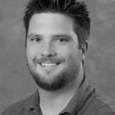
Seth graduated from NDSCS with a degree in Land Surveying and Civil Engineering Technology in 2011, and from there began a career at Moore Engineering as a CAD Technician. In 2014 Seth accepted a position at NDSCS as an instructor in the Land Surveying and Civil Engineering Technology department. While at NDSCS he was put in charge of developing the UAS (Unmanned Aircraft Systems) program which has now become a 1-year certificate program covering topics in photogrammetry, LiDAR, multispectral imaging, thermal imaging, photography and videography. In 2017 he started up a drone service provider company, Precise Sensing, specializing in photogrammetric mapping and LiDAR.


